black and brown leather padded tub sofa

Precision Land Surveying Services

Expert solutions for all your surveying needs.

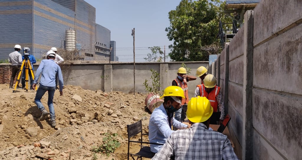
Topographical Survey

Accurate mapping and contouring for projects.

Comprehensive mining plans and schemes preparation.

Professional aeronautical chart mapping services.

Mining Plans
GIS Data

Join our workshop

Every learning begins with the experience

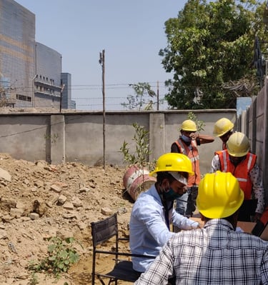
Expert Land Surveying Services

At Geostat Pro, we specialize in comprehensive land surveying solutions, including topographical surveys, DGPS coordinates, mining plans, and civil work contracts to meet all your surveying needs.

A tripod-mounted surveying instrument is prominently placed in the foreground, with a large construction site visible in the background. Tall cranes and unfinished buildings indicate ongoing construction work, set against a clear blue sky.

15

Trusted by Professionals

Comprehensive Surveying Services

Expert land surveying solutions tailored for your business needs and project requirements.

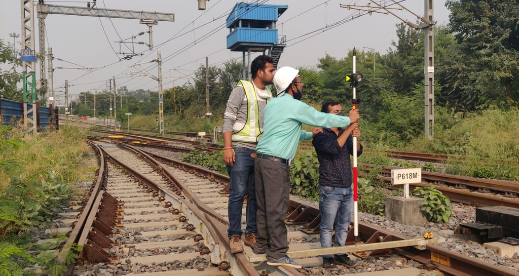
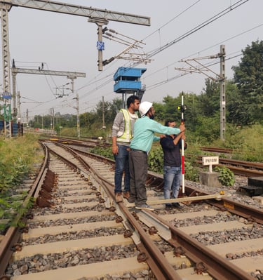
Advanced DGPS Surveying

Utilizing DGPS technology for precise coordinates in the WGS84 system for accurate mapping.

A surveying instrument mounted on a tall pole stands in the foreground, with a bright blue sky and scattered clouds above. In the background, there are several modern high-rise buildings, indicating an urban area.
Mining Plan Preparation

Expert formulation and preparation of mining plans and schemes to meet regulatory standards.

A close-up of a surveying instrument, specifically a total station, mounted on a tripod. The instrument features an orange cylindrical target with a reflective surface and a black and yellow square backing with a cross pattern. The background is blurred, showing some cars and trees, suggesting an outdoor setting.

Surveying Excellence

Explore our diverse land surveying services and project achievements.

A person wearing a white hard hat and high-visibility vest operates a surveying instrument, focusing intently on the task at hand. The background is blurred with hints of other construction activities or team members.
A person wearing a reflective safety vest stands outdoors on grassy terrain. They are holding equipment and seem engaged in some form of land survey work. Nearby, a tripod with a white circular device is set up, casting a shadow on the ground.

GEOSTAT PRO

We provide comprehensive land surveying services in various locations, including topographical survey, DGPS survey, and aeronautical mapping solutions.

Hours

Mon-Fri 10AM to 6PM

Feel free to reach out to us for any queries

Fill the form mentioning your concern or requirement and we will connect with you as soon as possible